Nosellari Bike
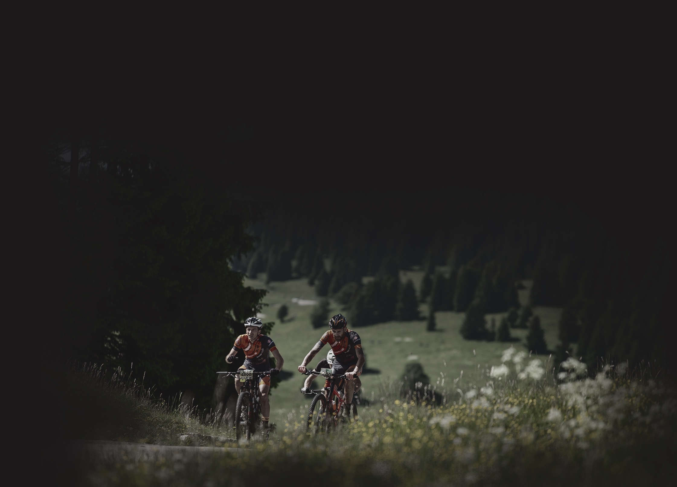
The Nosellari Bike route starts from the hamlet of the municipality of Folgaria and reaches Lavarone Gionghi through 26 km of climbs, descents and breathtaking views. This trail touches some of the most interesting places on the Alpe Cimbra.
PATH
From the town of Nosellari in single grid the track climbs up to Lake Lavarone and then reaches Oseli; here begins a long climb to Passo Cost.
The trail continues until the intersection of Monte Tablat and then downhill to Malga Laghetto. The road then starts to climb again until the crossroad for Monte Cucco, the highest point of the route.
Once reached the top, the route offers a long descent to Passo Vezzena, connected by a flat track to Baita Cangi; from here a descent of 2 km reaches Seghetta, near Monterovere.
The track climbs again on the slopes of Monte Belem and then, through ups and downs, arrives at the crossroad for Monte Cimone. Here a path through the forest allows you to reach the Tomazol road: after a slight descent, you will see the ex-building of the Austrian Command.
Once arrived in Carbonare and climbed up to the crossroads of Monte Rust, a descent will lead you to Prà di Sopra. After crossing the hamlet, climb up to Lake Lavarone and then continue to Malga Pozze. From here only one last kilometer will separate the bikers from the finish line.